I'm just sayin'...
Midnight in the Garden of Jack & Ginger.
Thursday, November 13, 2008
stellar cartography
I love
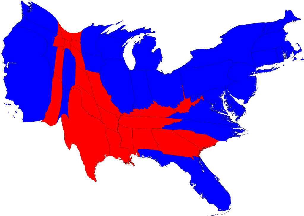
these maps
that make sense out of the voting information. A simple red and blue state map doesn't really do the job. What if states were resized based on population?
Or electoral votes? Check it
out
.
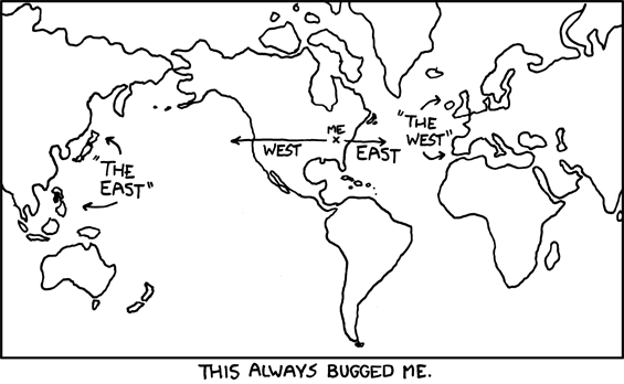
And on the topic of maps, from
xkcd
:
No comments:
Post a Comment
Newer Post
Older Post
Home
Subscribe to:
Post Comments (Atom)


No comments:
Post a Comment